18,2 km | 24 km-effort
Le Truel La Romiguière
ZITO12
Gebruiker
Lengte
9,6 km
Max. hoogte
473 m
Positief hoogteverschil
417 m
Km-Effort
15,2 km
Min. hoogte
264 m
Negatief hoogteverschil
418 m
Boucle
Ja
Datum van aanmaak :
2020-06-17 14:22:52.63
Laatste wijziging :
2020-06-17 14:25:31.545
3h08
Moeilijkheid : Medium
Gratisgps-wandelapplicatie
Over ons
Tocht Stappen van 9,6 km beschikbaar op Occitanië, Aveyron, Le Truel. Deze tocht wordt voorgesteld door ZITO12.
Beschrijving
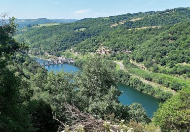
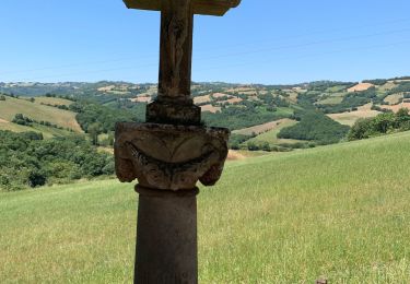
petite rando majoritaitement dans les bois mais avec de belles vues sur le Tarn
Plaatsbepaling
Land:
France
Regio :
Occitanië
Departement/Provincie :
Aveyron
Gemeente :
Le Truel
Locatie:
Unknown
Vertrek:(Dec)
Vertrek:(UTM)
480610 ; 4877352 (31T) N.
Opmerkingen
Wandeltochten in de omgeving
Villefranche de Panat
Stappen
Gemakkelijk
(2)
Villefranche-de-Panat,
Occitanië,
Aveyron,
France
10,4 km | 11,9 km-effort
2h 42min
Ja
J11: Ayssènes-Brousse le Château-190522
Stappen
Medium
,
Occitanië,
Aveyron,
France
23 km | 33 km-effort
7h 29min
Neen
Villefranche de Panat à Salles Curan
Stappen
Zeer moeilijk
Villefranche-de-Panat,
Occitanië,
Aveyron,
France
24 km | 31 km-effort
4h 53min
Neen
Le chemin des Raspes - Ayssènes
Stappen
Moeilijk
,
Occitanië,
Aveyron,
France
14,1 km | 23 km-effort
4h 30min
Ja
la Sabaterie reco
Stappen
Moeilijk
Le Truel,
Occitanië,
Aveyron,
France
11,5 km | 15,7 km-effort
4h 51min
Ja
brousse le château
Stappen
Zeer moeilijk
Le Truel,
Occitanië,
Aveyron,
France
19,8 km | 28 km-effort
9h 4min
Neen
randonnée Villefranche de panat
Stappen
Moeilijk
Villefranche-de-Panat,
Occitanië,
Aveyron,
France
10,2 km | 12,7 km-effort
3h 10min
Ja
de truel au viala du tarn in live
Stappen
Moeilijk
Le Truel,
Occitanië,
Aveyron,
France
21 km | 32 km-effort
5h 7min
Neen